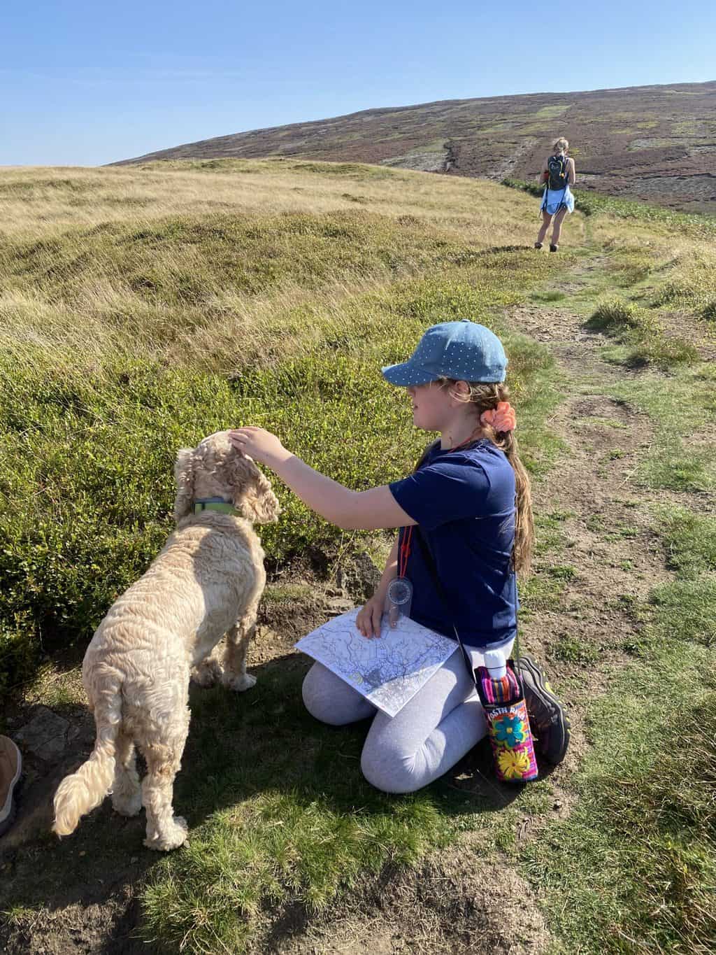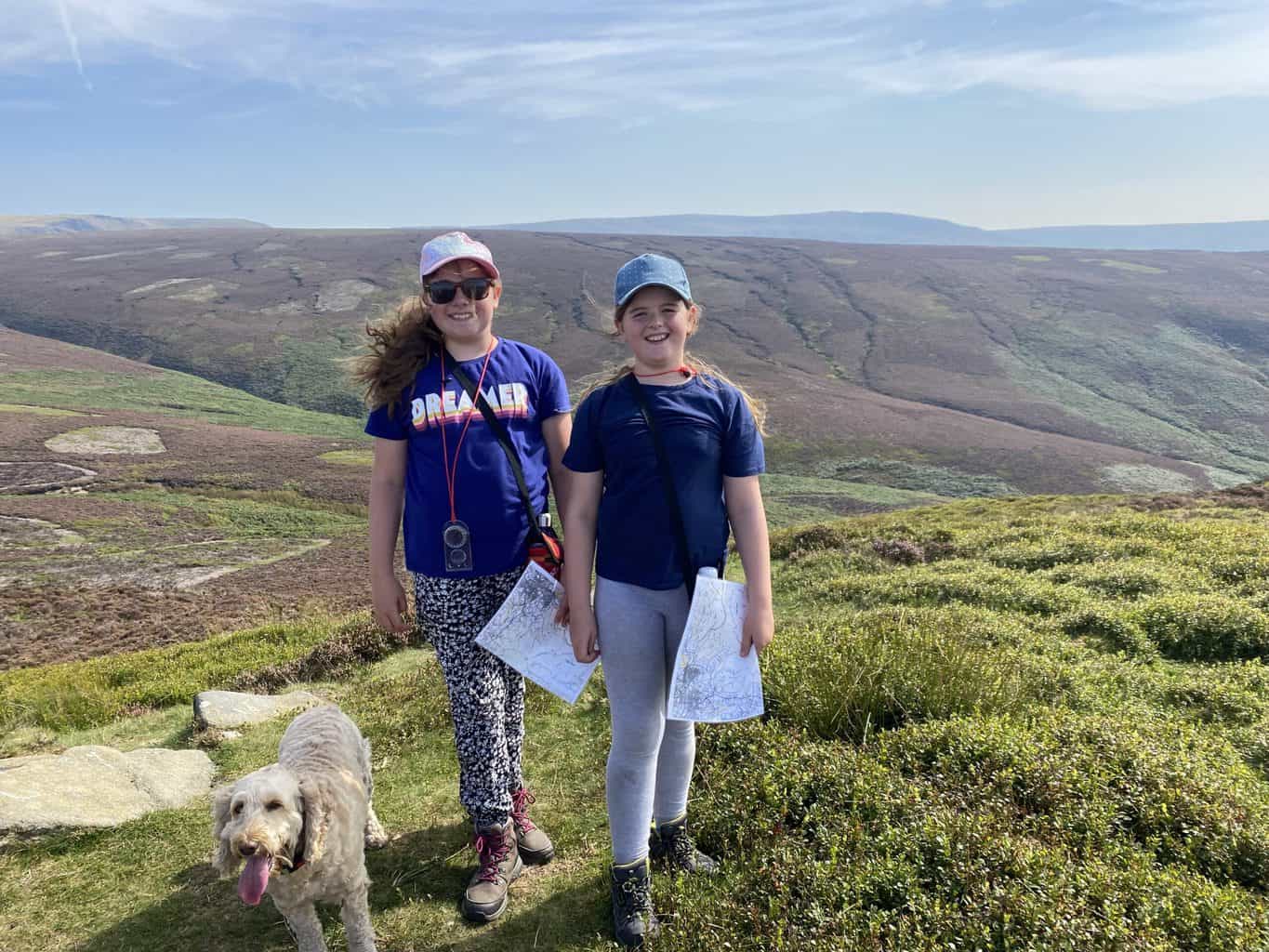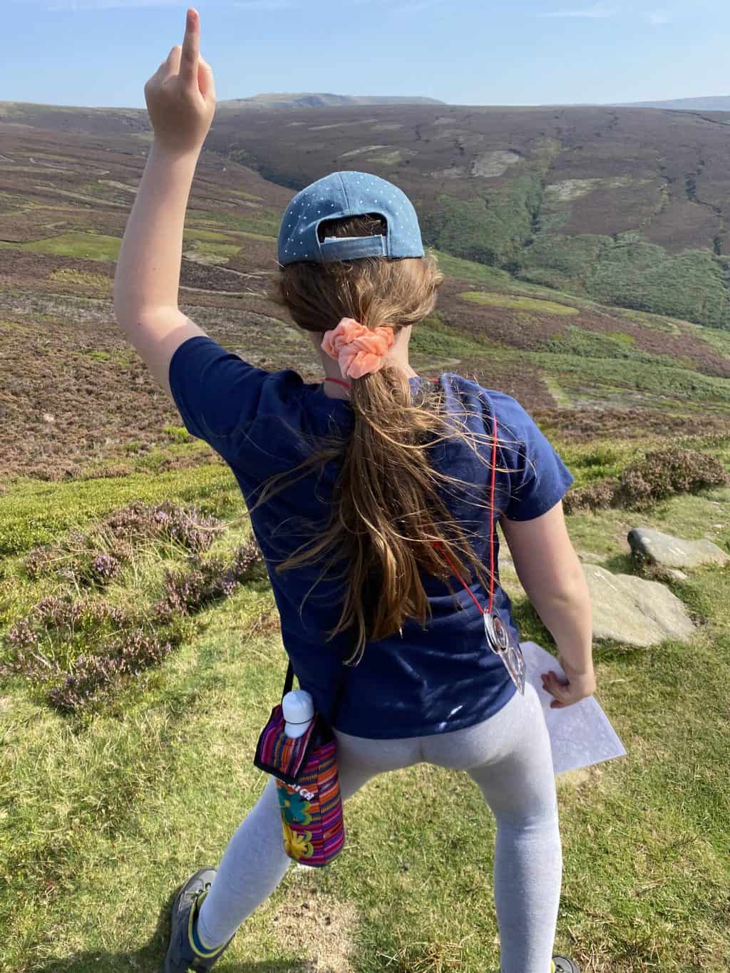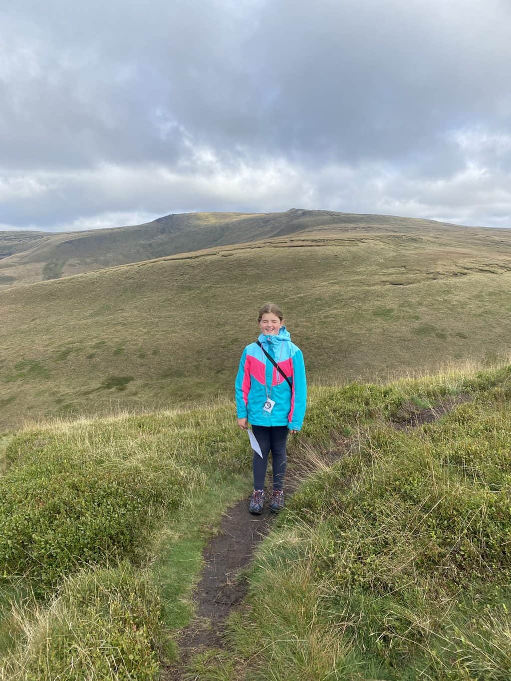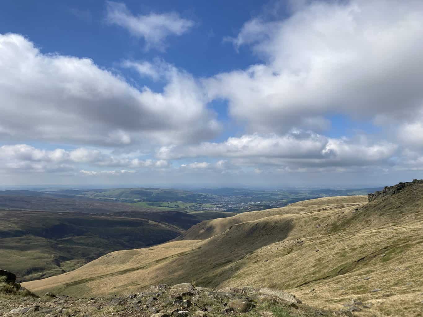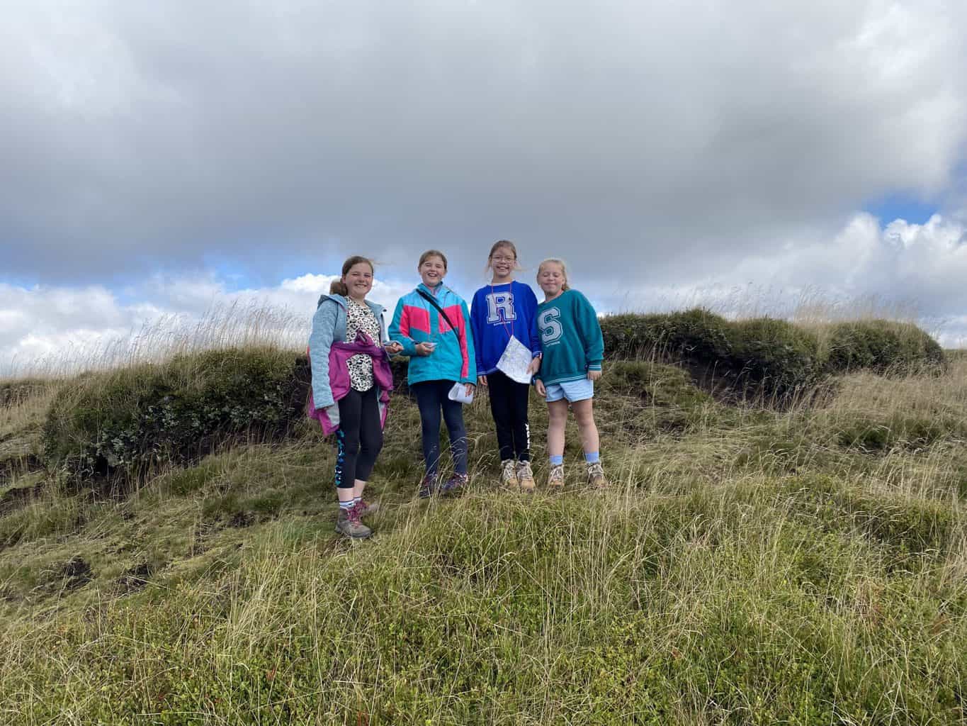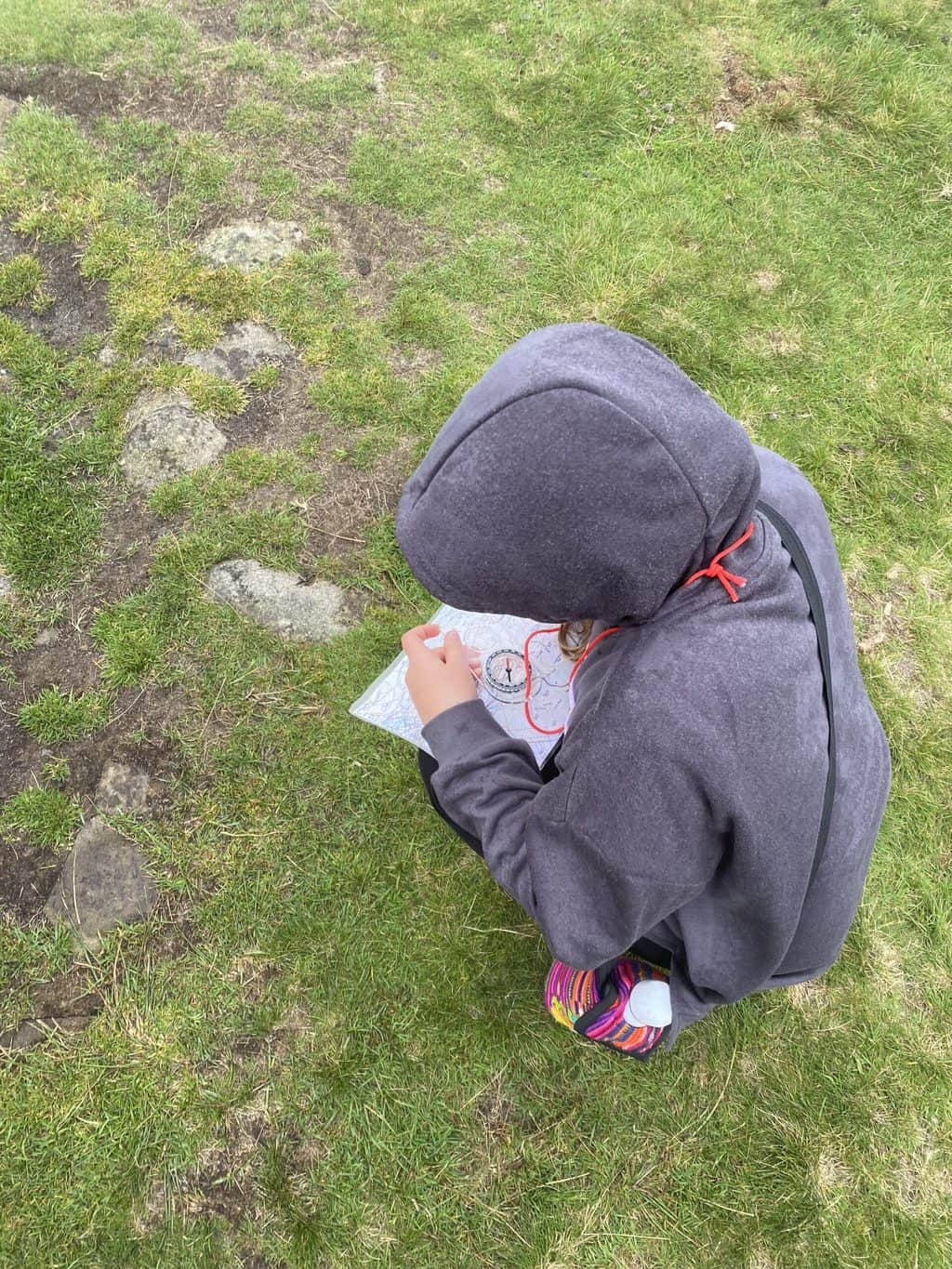
When I saw Tony of Riley’s Outdoor Adventure was running a map reading course, we got signed up straight away. There were four sessions which involved learning how to navigate with an OS map and compass, how to use six-figure grid references and generally how to find your way in various conditions and using landscape features around you.
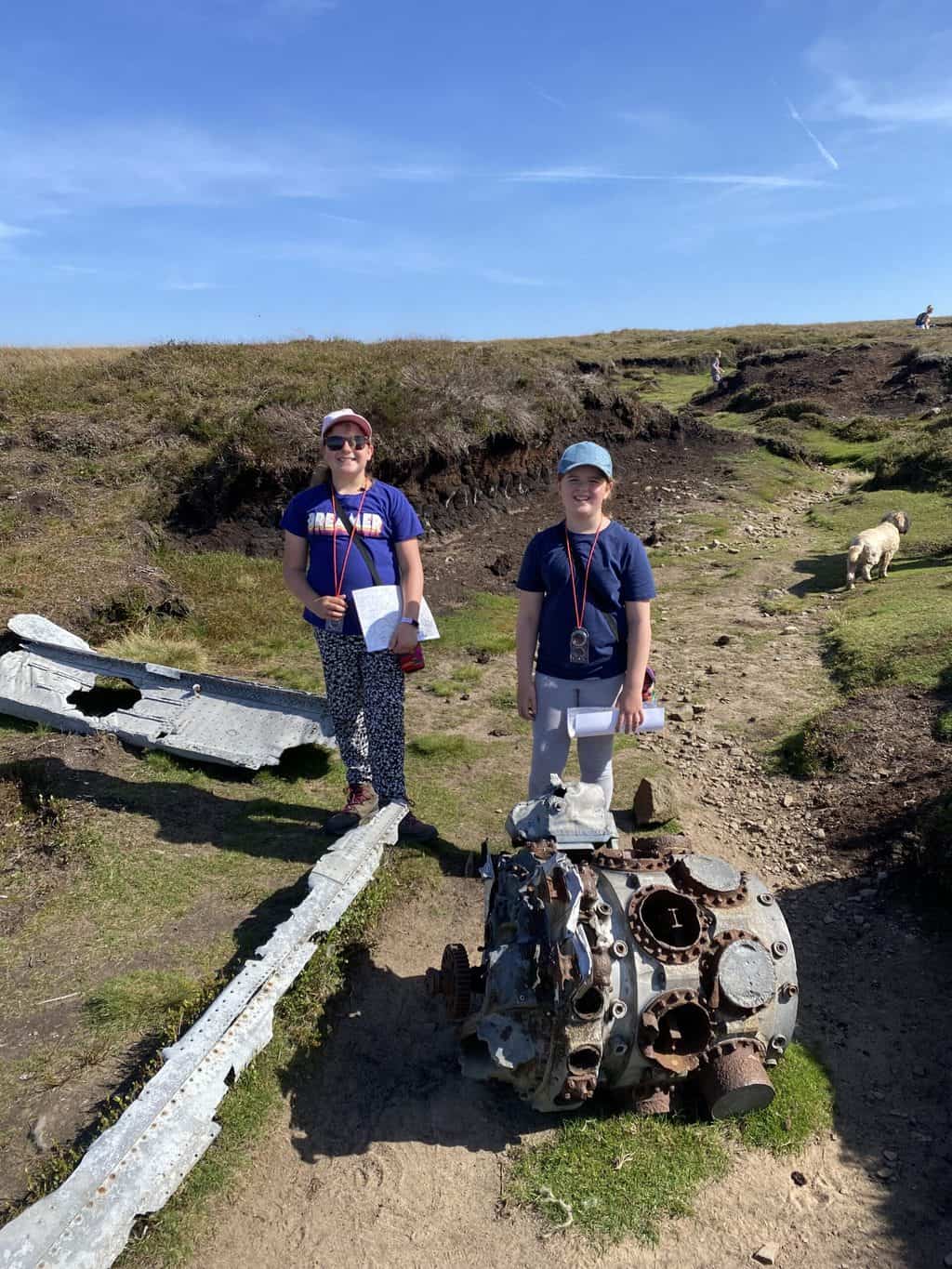
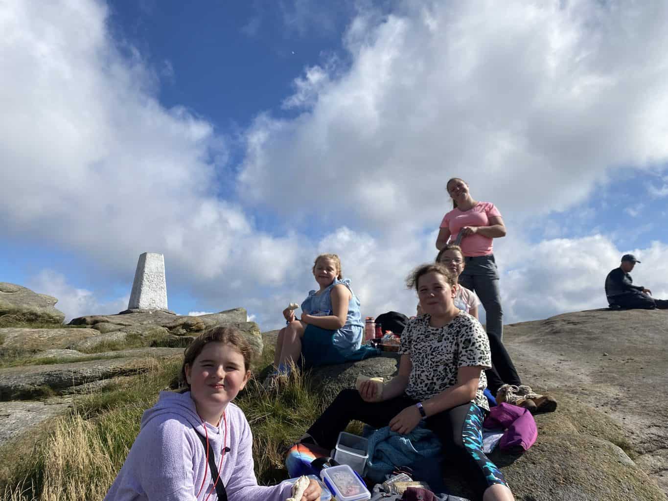
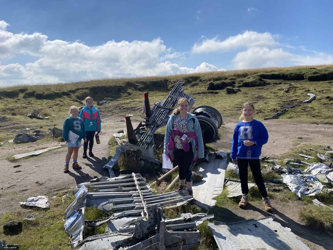
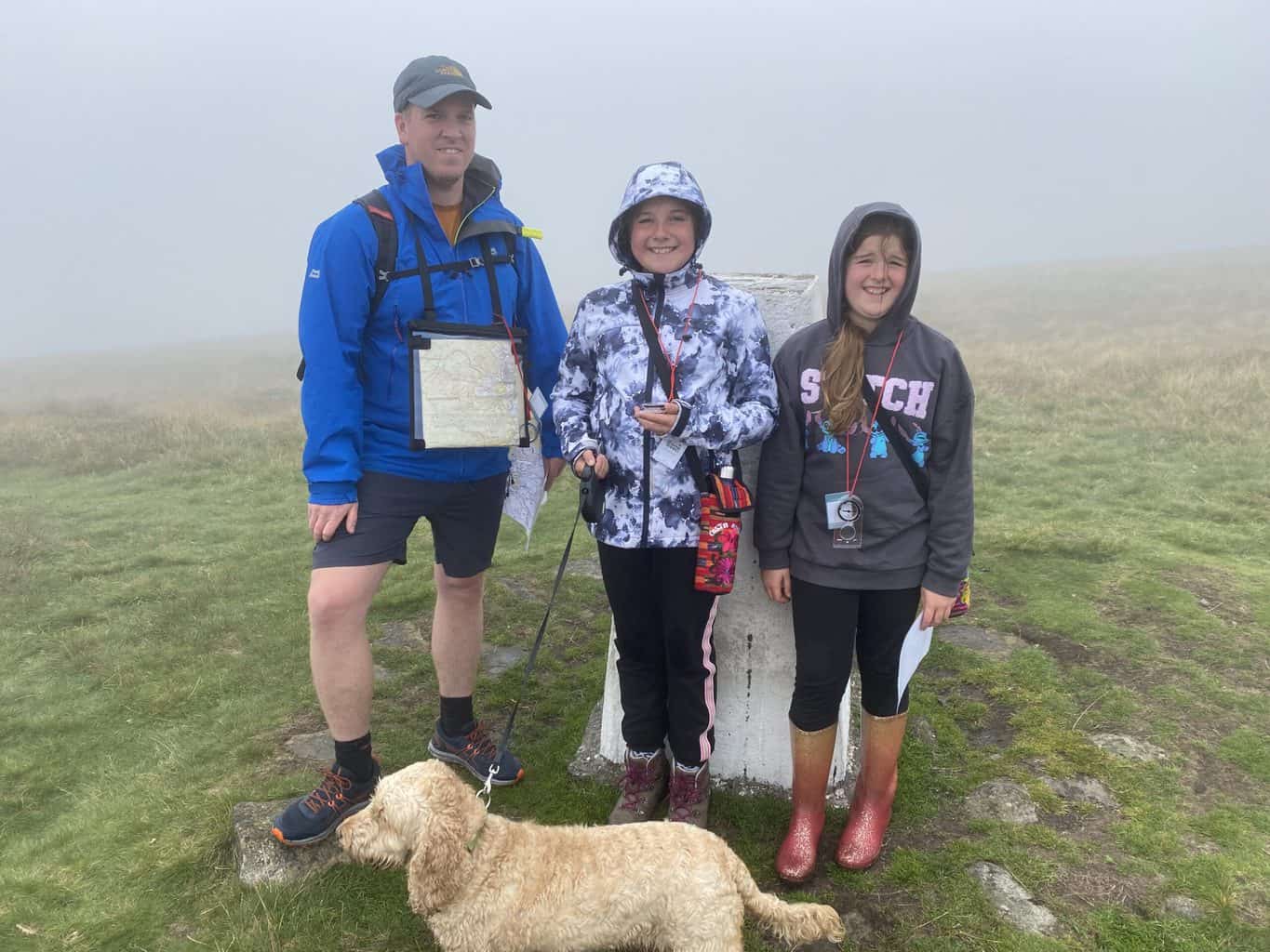
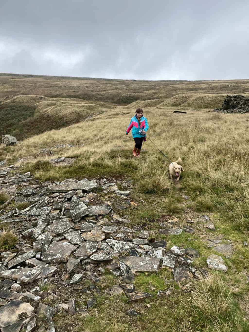
Every week also involved finding a trig point and plane crash site, of which there are plenty in the hills above the Peak District.
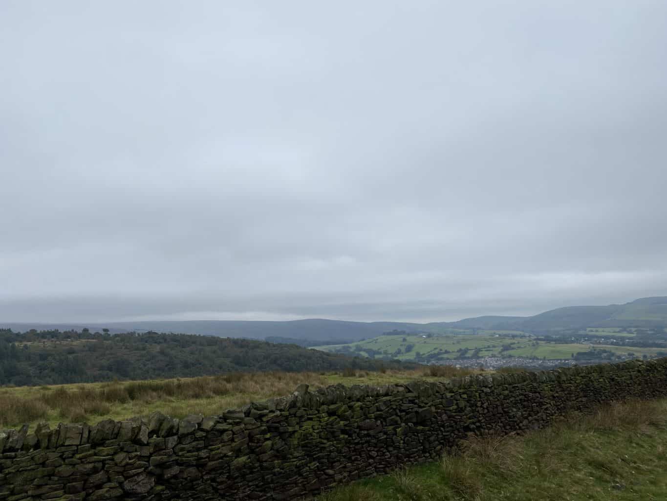
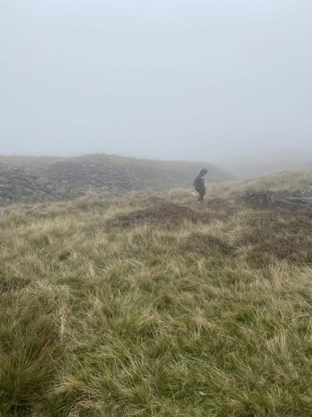
We were blessed with amazing weather for three of the sessions but one involved learning to navigate in the mist/fog/rain! We shared the course with two other families and Tony’s dog Penny. As always, Tony was great with the kids and taught them and all the adults too. At the end of the course, we felt very confident in using a map and compass and finding our way. We’ve also found lots of new areas we want to explore more and we definitely want to tick off a few more plane crash sites too.
Roll on more adventures in 2022 once the weather is better!